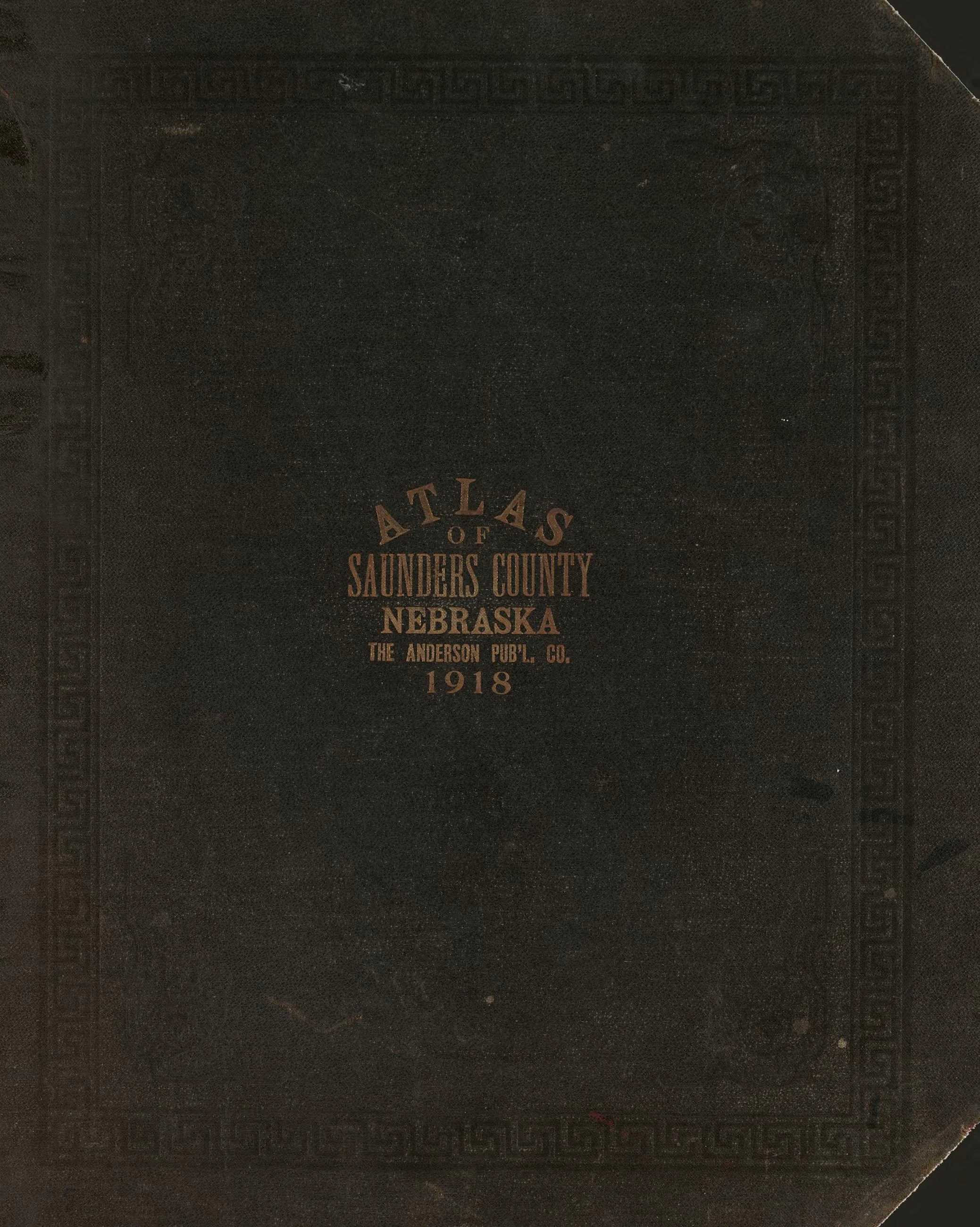
Atlas of Saunders County, Nebraska : containing maps of townships of the county, maps of state, United States and world,
1916 · Library of Congress, Geography & Map Division
Map
Library of Congress · Geography & Map Division · "world map" · Public domain · Library of Congress, Geography & Map Division
MORE LIKE THIS
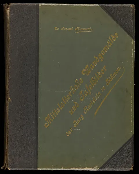 Mittelalterliche wandgemälde und tafelbilder der burg Karlstein in Böhmen
 Mittelalterliche wandgemälde und tafelbilder der burg Karlstein in Böhmen
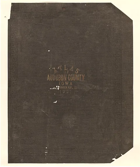 Atlas of Audubon County, Iowa : containing maps of townships of the county, maps of state, United States and world, farm
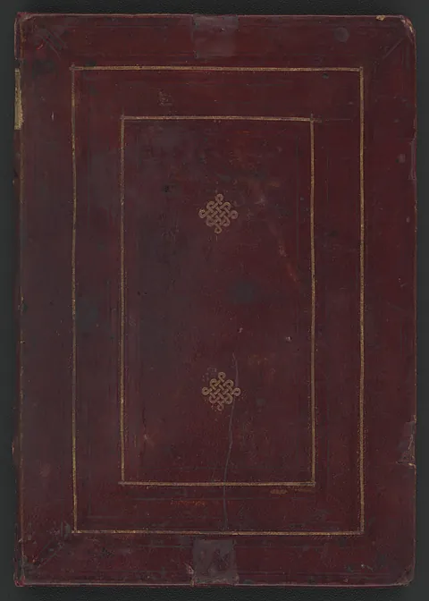 [Portolan atlas of 9 charts and a world map, etc.]
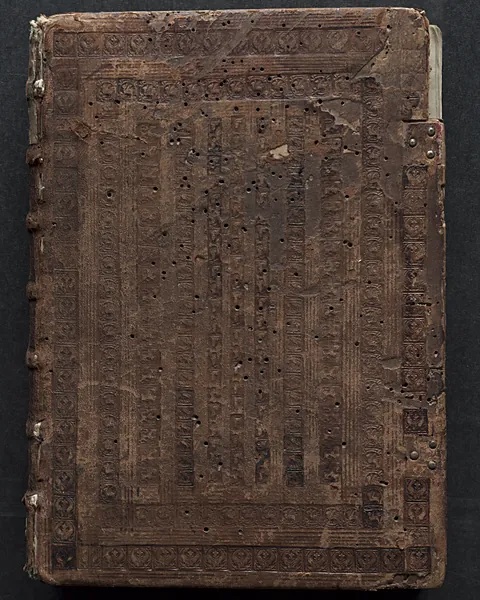 The Gotha Missal
 La cathédrale de Reims
 La cathédrale de Reims
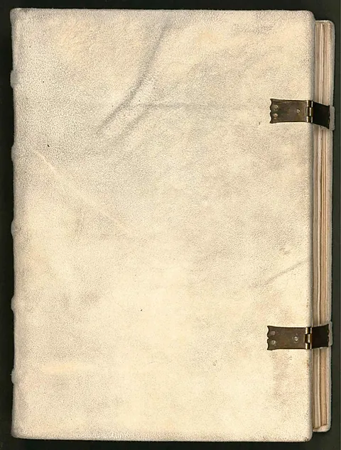 Golden Munich Psalter WDL8939
Artworks CC0/public domain; photographs of sites used under their Creative Commons licenses, with credit shown on every work.