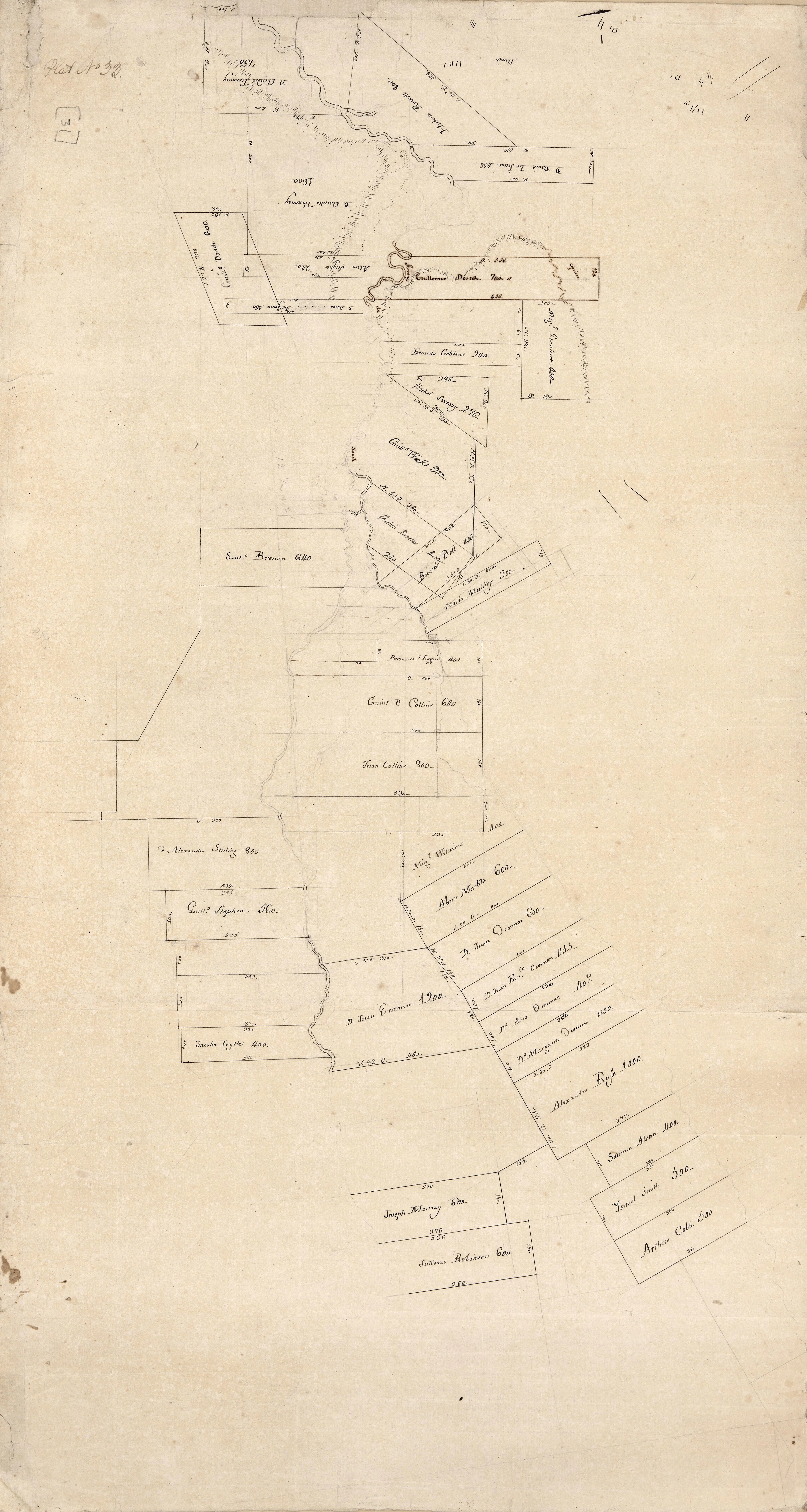
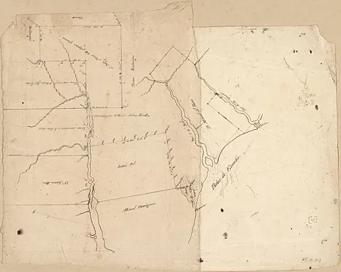
[Map of Feliciana District, Spanish West Florida, along Bayour Sara]
1805 · Library of Congress, Geography & Map Division
Map
Library of Congress · Geography & Map Division · "world map" · Public domain · Library of Congress, Geography & Map Division
MORE LIKE THIS
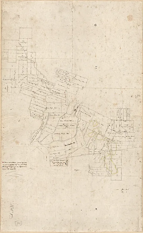 [Map of a portion of Feliciana District, Spanish West Florida]
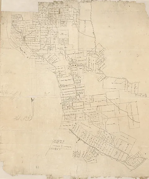 [Map of Manchac and Baton Rouge District, Spanish West Florida]
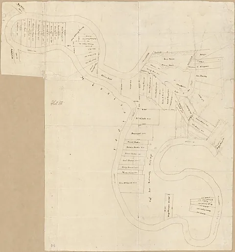 [Map of the Tunica Bend area, Spanish West Florida]
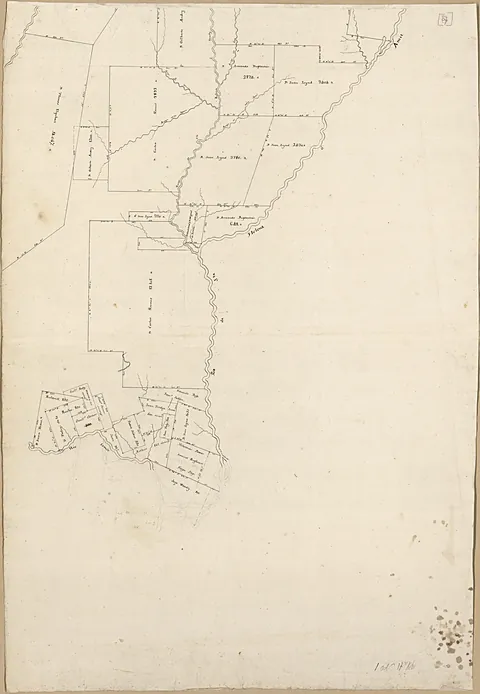 [Map of Spanish West Florida bounded by Rios Comite and Amite]
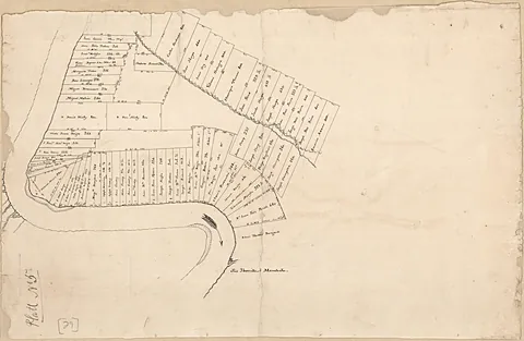 [Map of a portion of Manchac District, Spanish West Florida]
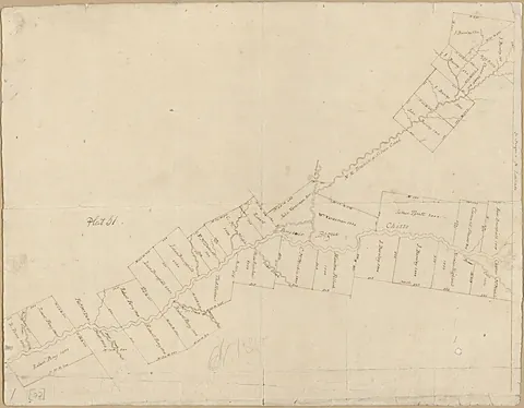 [Map of an area along Bayou Bogue Chitto, Spanish West Florida]
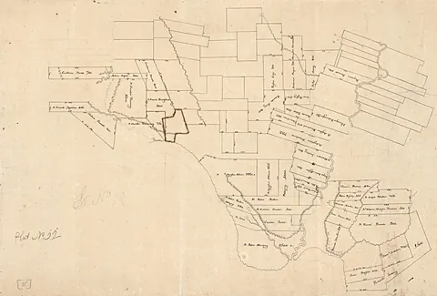 [Map of a portion of Feliciana District, Spanish West Florida]
 [Map of landowners between Escambia Bay and Governor or Mulata River]
Artworks CC0/public domain; photographs of sites used under their Creative Commons licenses, with credit shown on every work.