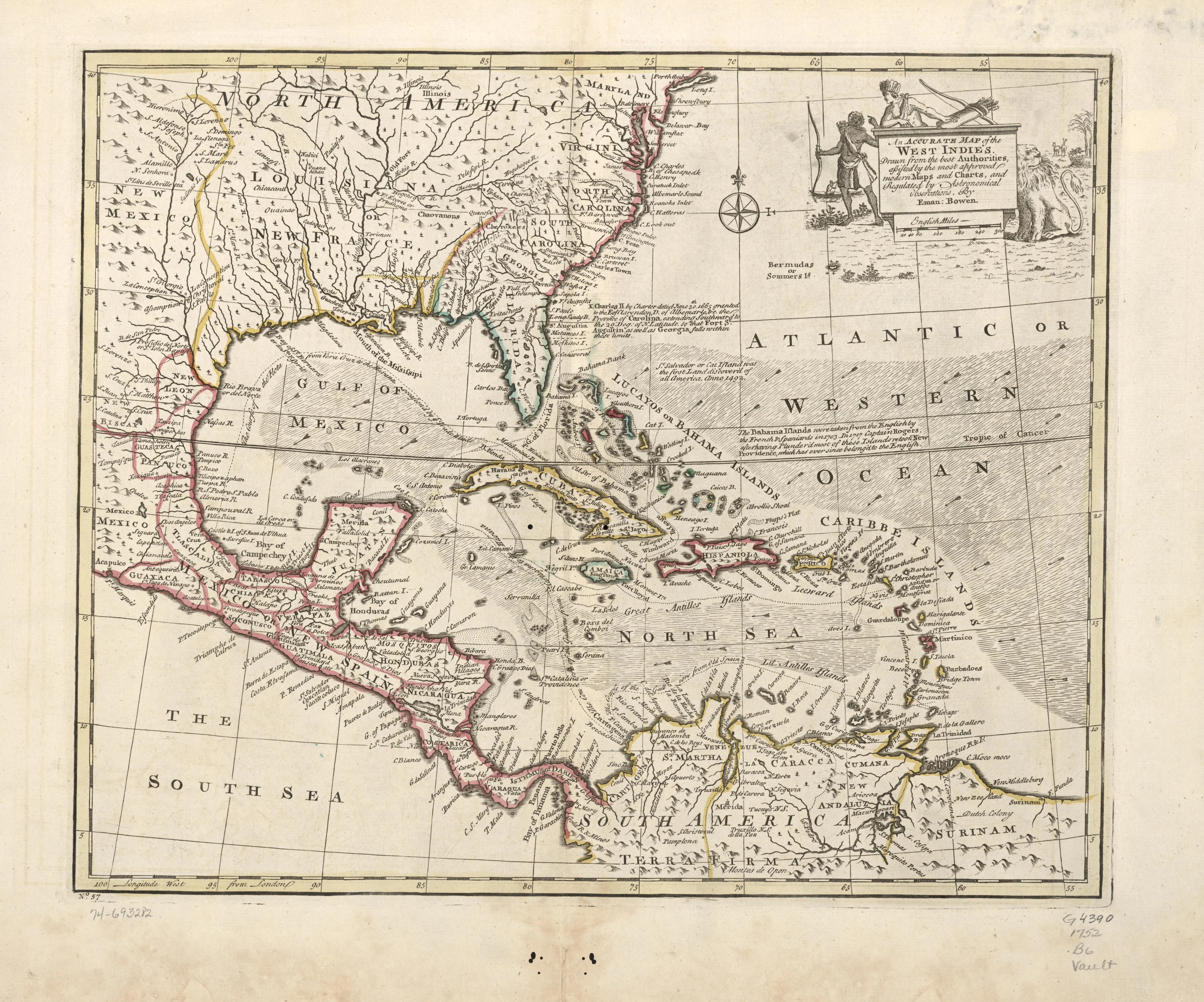
An accurate map of the West Indies. Drawn from the best authorities, assisted by the most approved modern maps and chart
1752 · Library of Congress, Geography & Map Division
Map
Library of Congress · Geography & Map Division · "world map" · Public domain · Library of Congress, Geography & Map Division
MORE LIKE THIS
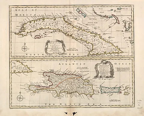 A new & accurate map of the island of Cuba. A new & accurate map of the islands of Hispaniola or St. Domingo and Porto R
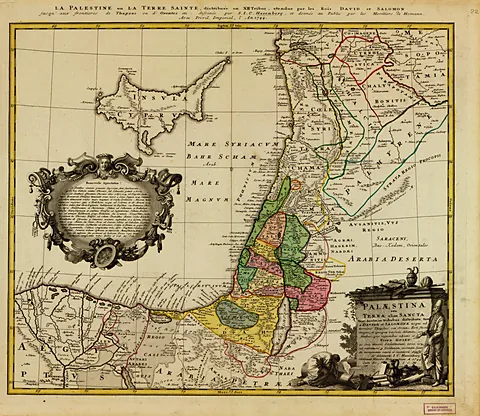 Palaestina seu Terra olim Sancta tum duodecim tribubus distributa tum a Davide et Salomone
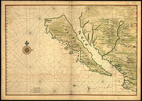 [Map of California shown as an island]
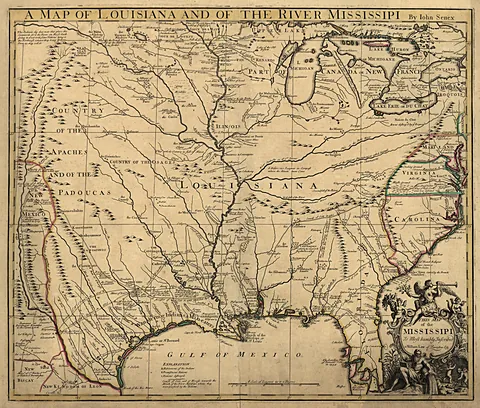 A map of Louisiana and of the river Mississipi [i.e. Mississippi] : this map of the Mississipi [i.e. Mississippi] is mos
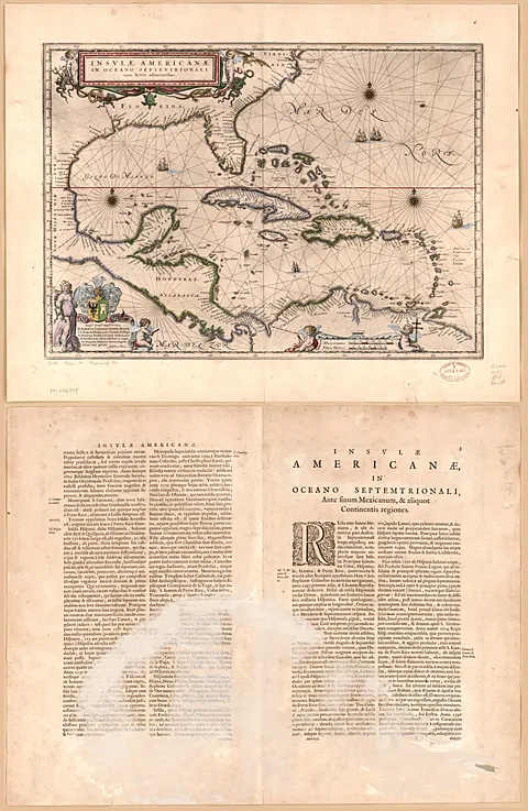 Insulæ Americanæ in oceano septentrionali cum terris adiacentibus
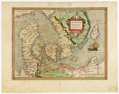 Map of Denmark from the Atlas "Theatrum orbis terrarum".
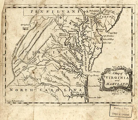 A map of Virginia and Maryland
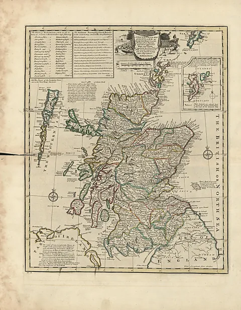 A new & accurate map of Scotland or North Britain : drawn from surveys and most approved maps and charts & regulated by
Artworks CC0/public domain; photographs of sites used under their Creative Commons licenses, with credit shown on every work.