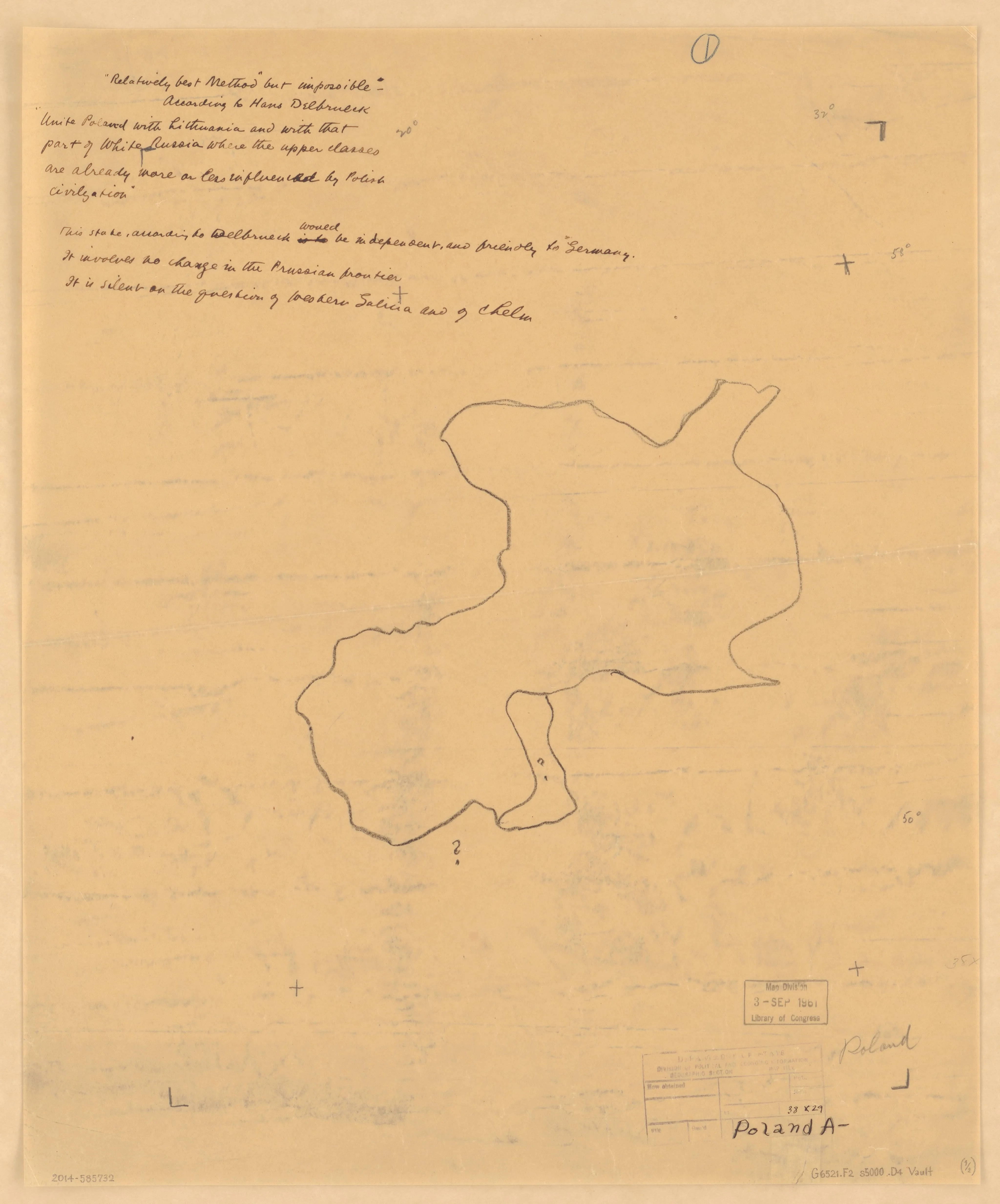
[Sketch maps of international boundaries proposed for Poland as an independent state after World War One]
1918 · Library of Congress, Geography & Map Division
Map
Library of Congress · Geography & Map Division · "world map" · Public domain · Library of Congress, Geography & Map Division
MORE LIKE THIS
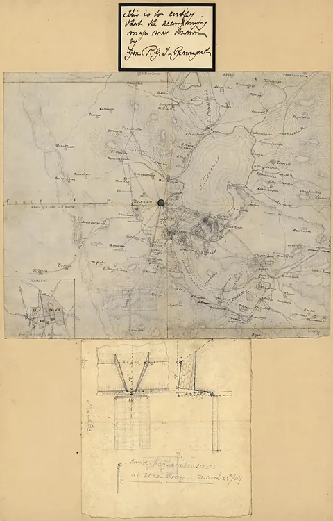 [Map of Mexico City region]
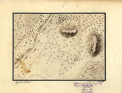 [Military training map, Mexico]
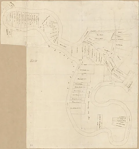 [Map of the Tunica Bend area, Spanish West Florida]
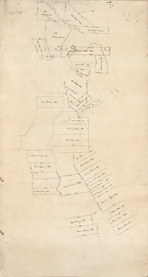 [Map of Feliciana District, Spanish West Florida, along Bayour Sara]
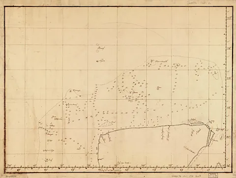 [Map showing coast of northern Yucatán Peninsula]
 Hours of Charles the Noble, King of Navarre (1361-1425), fol. 327v
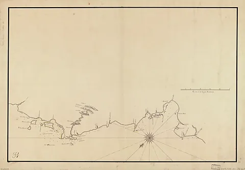 [Map showing coast of Portobelo region]
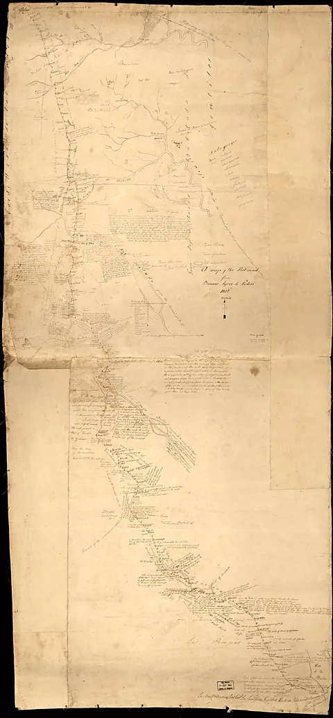 A map of the post-road from Buenos Ayres [sic] to Potosi
Artworks CC0/public domain; photographs of sites used under their Creative Commons licenses, with credit shown on every work.